
OUR SERVICES
RANGING FAR AND WIDE WE DELIVER ON TIME, ON BUDGET
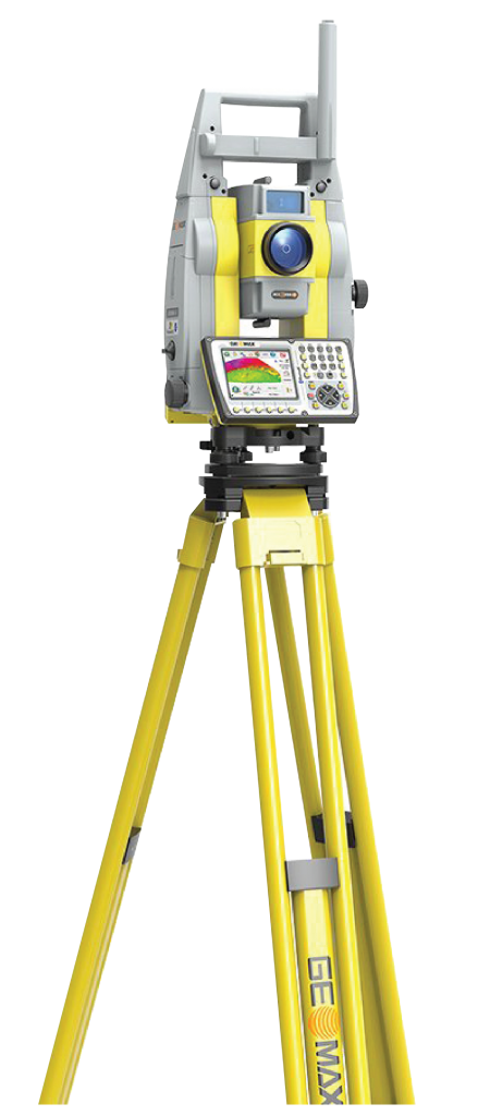
Your efficient local surveyors
Rural
Subdivisions
Looking to subdivide your lifestyle block? Want to create a unique rural lifestyle development? Our team understands the challenges of rural New Zealand like no other, and we’ve been involved with some totally unique lifestyle subdivisions in the past. We can take care of the whole process for you, from consent, design of services and from roading through to civil construction and land transfer survey.
If you are looking for a surveyor with the experience and expertise to take your subdivision concept and turn it into reality, get in touch with Rural Urban Surveyors today. From concept and subdivision feasibility studies through to issue of titles, our team can:
- Complete the subdivision consent application process.
- Obtain the consent decision from council.
- Implement the consent including engineering design.
- Organise civil contract tendering and supervision.
- Take care of Land Transfer survey and as built surveys.
- Obtain certification and approvals from Council.
- Lodge survey to Land Information New Zealand (LINZ) for approval.
Contact us today to discuss your ideas and requirements.
As specialists in all aspects of urban subdivision design and layout, when working with us your subdivision or boundary adjustment will be completed within timeframes, within budget, and to the level of detail you expect.
At Rural Urban Surveyors, we strive to exceed your expectations. We treat every project equally, no matter the size, and can utilise or adapt our specialised skills to any sized subdivision, whether you want to create one new lot or multiple lots.
Rural Urban Surveyors specialises in feasibility studies. These include subdivision design, obtaining resource consents, roading & services design, project management, confirmation of payment claims, as-builts, pegging of new lots, preparation of new survey plans and completion of Council compliance documentation.
Contact our team and find our more.
Urban
Subdivisions
BOUNDARY LOCATION AND MARKING
Boundaries can only be marked by a Licensed Cadastral Surveyor, or under their expert guidance. We have vast experience in locating existing boundaries on a wide range of properties, ranging from intercity commercial sites to residential sections and rural blocks.
We can access survey records online so that an estimate can be provided on the same day as you make your enquiry. We will produce all documentation and can plan for you to help aid in the purpose of the boundary marking survey.
Removal of Limitations Survey
If your title is limited as to parcels, a removal of this limitation is required before boundary positions can be confirmed. This type of survey requires a high level of specialist knowledge of the cadastral system. After consideration of all relevant spatial evidence, the position of the boundaries is determined and lodged for approval (and issue of new title) with Land Information New Zealand.
This type of survey is used for determining the location of physical objects on the land including buildings, the slope or contours of the land, pathways, easements, water boundaries, vegetation, fences and formed tracks. Topographic surveying is a must for architects to design new builds or for house extensions and alterations, planning application diagrams and scheme plans used for proposed subdivisions.
The resulting plans or developments can then be used to determine the shape and size of individual lots, the position of services, and any reserves if required by the local authority. A Topographic Survey will help you to determine if a subdivision is a feasible option. Obtaining an accurate site survey is a minor cost and if ignored, could easily result in a substantial expense you don’t need.
We provide high quality data capture and produce plans in formats suitable for use by other consultants such as architects and engineers, and work alongside consultants to create the best possible product, first time.
TOPOGPRAPHIC SURVEYING
BUILDING LOCATION CERTIFICATION
In the early stages of a property development, acquiring a building location certificate for the new build is an essential requirement. This process involves a review of the building consent plans by a surveyor who will provide advice, notes and calculations before the site survey takes place. It’s done to accurately set out the position and height of the building as per plans.
Councils require certification from a Licensed Cadastral Surveyor to confirm that the position and level of the floor agrees with the approved building plans. Our experienced team has the relevant qualifications, know-how and equipment required to position your building in the correct place and height.
We are passionate about getting cross-lease owners onto a Fee-simple title. Converting your cross-lease title to freehold allows for more freedom, and in our experience, more value in the property.
As there is more than one property (and usually multiple owners) involved, we specialise in working with all landowners to get proposals over the line. Our team will provide all parties with a detailed proposal outlining the work and costs involved in converting your title to Fee-simple tenure.
Any variation to the building outlines on a cross-lease flats plan makes the title defective, and this needs to be updated with a new Flats plan to rectify the title. Converting your title to fee-simple tenure cancels any cross-lease agreement. It gives the respective landowners full un-impeded rights to their share, alleviating any future issues with consenting and redevelopment of the properties.
We will manage the entire project from beginning to end, aiming to make the process as seamless and stress-free as possible for everyone involved.
CROSS LEASE TO FREEHOLD CONVERSION
HEIGHT IN RELATION TO BOUNDARY (HIRB)
The height of a building, in relation to the distance the building is from the boundary, is a way Councils regulate how neighbouring properties are affected by a development. The effects of an infringement under the height in relation to boundary rules relate to access to sunlight and daylight for all properties.
Different councils have different requirements, and these can even vary between individual zones within the same Council area.
When developing a new building, the project’s architect will show height in relation to the boundary (HIRB) calculations on the building plans. If the proposed building is close to the HIRB limits, Council will require that the actual HIRB be checked by a Licensed Cadastral Surveyor before proceeding beyond the foundation stage.
If your building is close to the HIRB limit, we strongly recommend having it checked by our Licensed Surveyor as early as possible in the process. Mistakes can be costly and can involve a Resource Consent application to resolve the issues.
Where a subdivision is proposed around existing dwellings, HIRB calculations are also required to ensure that the existing buildings will not infringe HIRB on the proposed new boundaries within the site. Feel free to contact us if you need more clarification or have any questions.
We are passionate about getting cross-lease owners onto a Fee-simple title. Converting your cross-lease title to freehold allows for more freedom, and in our experience, more value in the property.
As there is more than one property (and usually multiple owners) involved, we specialise in working with all landowners to get proposals over the line. Our team will provide all parties with a detailed proposal outlining the work and costs involved in converting your title to Fee-simple tenure.
Any variation to the building outlines on a cross-lease flats plan makes the title defective, and this needs to be updated with a new Flats plan to rectify the title. Converting your title to fee-simple tenure cancels any cross-lease agreement. It gives the respective landowners full un-impeded rights to their share, alleviating any future issues with consenting and redevelopment of the properties.
We will manage the entire project from beginning to end, aiming to make the process as seamless and stress-free as possible for everyone involved.
UNIT TITLE DEVELOPMENTS
RESOURCE CONSENTS & DISTRICT PLAN ADVICE
Do you need advice on what rules apply to your property, proposed development or unique project? We can help guide you through the process of checking and if necessary, obtain resource consent for your land development.
Our experienced team has extensive and up-to-date knowledge of all Local and Regional Council District Plan rules. We can provide pre purchase advice, prepare all consent applications and provide representation at resource consent hearings.
Our work includes subdivision consents, boundary adjustments, and consents for earthworks. We also carry out work on more unique projects from time to time and have a wealth of planning knowledge across our business to call on. Feel free to contact us for more information any time.
With designs often taken to the limits of what’s permitted these days, it pays to make sure your construction is in the right place and at the right level. Getting a Licensed Surveyor to set out the works is a good way to ensure this happens correctly. In addition, an As-Built survey is often completed after the works are constructed as proof that the positioning is correct.
Examples of Engineering Surveys that may be required:
Drainage Setout’s
The approved design plans from the engineer will specify the position and required levels of the new drainage. A surveyor can ensure that manholes are in the correct place and that the right levels are provided to ensure that the grades of the pipes allow the drainage to work.
Rural Urban Surveyors are highly experienced in this field, and we will provide clear plans detailing what was Setout and when. Please contact us for advice on your project’s Setout plans.
Retaining Wall Setout’s
It is not always necessary to have a Retaining Wall Setout, but if they are near the boundaries (within 1m) or close to a new building, it is essential to ensure that the retaining walls are in the right place and at the correct height.
Road and Driveway Setout’s
Road and Driveway Setout’s ensure that new road/driveways are built to the design plans. Stakes are marked with heights as shown on the design plans. These marks help contractors to keep the correct gradients on the new road/driveway as designed.
Earthworks Cut and Fill Setout’s
This type of survey is carried out when major earthworks are to be done on site. Marks are placed to indicate to the contractors where there is to be cut or fill and how much is needed to hit the design level. This is a good way to make sure your development is done correctly first time.
Earthworks and Quantities
When there are major earthworks involved in a job, contractors need to know how much cut and fill was completed and can provide you confidence that the contractors are charging fairly and accurately. For Geotechnical reasons, Council and engineers like to know where and how much cut and fill was moved. To make sure this is done correctly, it is essential to undertake a site survey of the section before any work commences. This is used as the baseline for the site.
ENGINEERING SETOUT
DEFORMATION MONITORING
Movement Monitoring Surveys determine all changes on any infrastructure before, during, or after construction projects to identify any deformation. Deformation and movement monitoring surveys are becoming more essential as the stability of aging infrastructures and structures are at stake from stresses.
Deformation Monitoring surveys aim to detect both small and gross movements of structures. Any movement will be promptly determined by our qualified team and our ultra-high precision survey equipment. We will project manage to your exact requirements and specifications, and tailor our comprehensive services to your individual needs. Contact us any time for more information.
As-built surveys are required for new and existing services when submitting to Council or for private use by commercial operators. We can help you set up systems to manage your as-built information needs by undertaking high precision as-builting of completed services and outputting the data in a variety of formats.
As-Built Drainage plans are required by Councils when any new drainage works have been completed. A private drainage As-Built plan, drawn by a plumber/drainlayer, is required when new drainage from a building or driveway has been constructed. This will show the new drainage from the building/driveway to the point that it joins to the public or private drainage system.
A public drainage As-Built plan, drawn by a Licensed Cadastral Surveyor is required when the public drainage system has been extended or new manholes/chambers constructed in the public system. This entails a Topographic (Site) Survey to confirm manhole lid/chamber positions and levels and inverts of upstream and downstream pipes. If you have any questions or book in an obligation-free consultation on-site, call us any time.